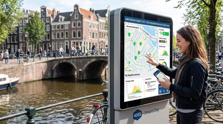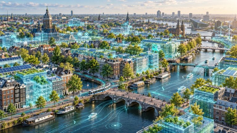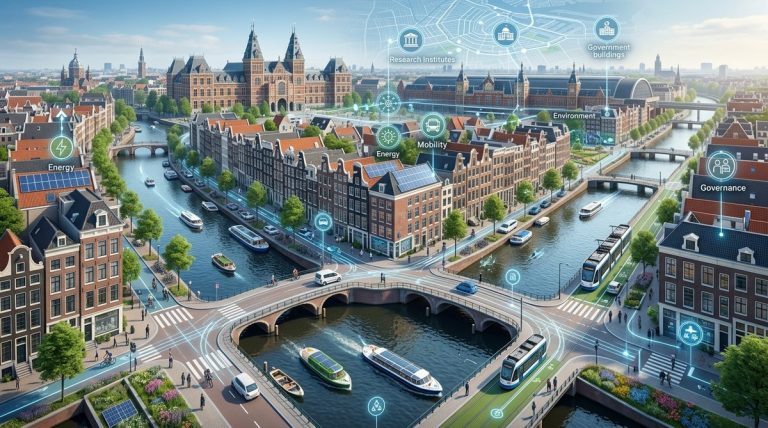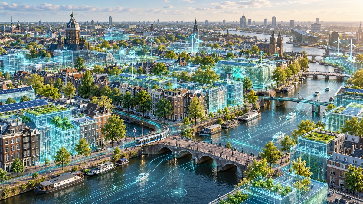
Picture a city that can test a new bridge, predict flooding from a storm, or reroute traffic before a concert ends. All of this happens inside a virtual copy of Amsterdam that updates itself every second. That is the power of the Amsterdam digital twin. It is not a static map or a fancy 3D model. It is a living, breathing simulation fed by thousands of sensors, IoT devices, and open data streams. For urban planners and policymakers, this tool has changed how decisions are made. Instead of guessing, you can see the impact before you break ground.
Amsterdam’s digital twin is a live, data-driven mirror of the city that helps planners test infrastructure changes without real-world risk. By combining 3D modelling with real-time sensor data, the city has cut project approval times, reduced flood damage costs, and improved traffic flow. This article explains how it works, what tools are used, and how your municipality can adopt similar methods.
How the Amsterdam digital twin actually works
The digital twin is not a single piece of software. It is an ecosystem. At its core sits a 3D city model built from LiDAR scans, aerial photography, and municipal GIS data. That base layer is then fed with live data from over 12,000 sensors across the city. These sensors measure air quality, noise levels, water depth in canals, foot traffic, and even the structural vibration of historic bridges.
All that data flows into a central platform where city officials can run simulations. Want to know what happens if you close a street to cars? The twin can show you the ripple effect on nearby junctions, bus routes, and cycle paths within minutes. This is not a theoretical exercise. It is used every day by the city’s infrastructure team.
The three layers of the twin
- Static layer: Buildings, roads, canals, and underground utilities. This is the digital equivalent of a paper map, but in full 3D.
- Dynamic layer: Real-time data from sensors, traffic cameras, and weather stations. This layer updates every few seconds.
- Predictive layer: Machine learning models that forecast future states. For example, predicting where flood water will collect during heavy rain.
A numbered process for building your own urban twin
If your municipality wants to follow Amsterdam’s lead, here is the step-by-step process they used. It is not about buying the most expensive system. It is about starting small and scaling up.
-
Audit your existing data. Amsterdam began by pulling together all the datasets the city already owned: building permits, traffic counts, utility maps, and environmental reports. You probably have more data than you think. The trick is making it interoperable.
-
Choose a pilot area. Do not try to model the whole city at once. Amsterdam started with the central district, focusing on a single challenge: canal bridge maintenance. By testing the twin on a small, high-impact problem, they proved the concept before expanding.
-
Integrate live sensors. The city installed low-cost IoT sensors on bridges and in drainage systems. These fed the twin with real-world conditions. The goal was not perfect data from day one. It was good enough data that could improve over time.
-
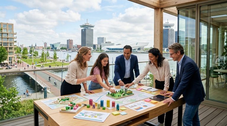
Run a simulation with stakeholders. Before any physical work began, the city held workshops where planners, engineers, and local residents could see the simulation together. This built trust and caught problems early.
-
Iterate and expand. Once the pilot worked, Amsterdam scaled the twin to cover the entire city. They added new data streams, improved the machine learning models, and opened the platform to academic researchers.
What the twin helps you decide
The table below shows common urban planning challenges and how the digital twin addresses them. This is based on real cases from Amsterdam’s projects in 2025 and 2026.
| Challenge | Traditional approach | Digital twin approach | Outcome in Amsterdam |
|---|---|---|---|
| Flood risk mapping | Paper maps and historical data | Real-time water level data plus 3D terrain simulation | 40% faster emergency response planning |
| Traffic calming measures | Manual traffic counts and surveys | Live traffic flow data with predictive rerouting | 25% reduction in peak hour congestion on pilot routes |
| Bridge maintenance scheduling | Fixed time intervals for inspections | Vibration sensors trigger alerts based on actual wear | 30% fewer emergency closures |
| New housing development impact | Environmental impact assessments that take months | Instant shadow, noise, and traffic simulations | Planning approvals shortened by six weeks on average |
“The twin does not replace the planner’s judgment. It removes the guesswork. When you can see that a new cycle lane will push congestion onto a residential street, you can fix the design before anyone lays a single brick.” — Senior urban strategist, City of Amsterdam
Real examples of the twin in action
Let us look at two concrete cases from 2026. These show the difference between theory and practice.
Case one: The Vijzelstraat bridge replacement. This 100 year old bridge carries trams, cars, and bikes over a busy canal. Engineers needed to close it for six months. Using the digital twin, the city tested 14 different traffic diversion plans in a single afternoon. They chose the option that added only three minutes to the average tram journey, instead of the twelve minutes predicted by earlier estimates. The simulation also showed that a nearby school would suffer a spike in air pollution during the diversion, so the city installed temporary green barriers.
Case two: The Noord district flood prevention. After heavy rainfall in 2025, parts of Amsterdam Noord experienced surface flooding. The twin was used to model where water would pool if a new drainage system was installed. The simulation revealed that the planned pipe diameter was too small for a one in fifty year storm. The design was changed before construction started, saving an estimated 2 million euros in retrofitting costs.
Common mistakes when starting a digital twin project
Amsterdam learned these lessons the hard way. You can skip the pain by knowing them upfront.
- Ignoring data quality. If your base map is wrong, the twin will be wrong. Amsterdam spent six months cleaning up its GIS data before the twin became reliable. Do not skip this step.
- Building in isolation. The twin is useless if only the IT department can use it. Amsterdam made sure that urban planners, traffic engineers, and even elected officials could access the platform with minimal training.
- Forgetting the human element. A twin can show you the optimal solution, but it cannot negotiate with residents. Amsterdam always paired simulation results with public consultation sessions. The twin informed the conversation but did not dictate it.
- Trying to model everything at once. Start with one problem. Solve it well. Then expand. Amsterdam’s first twin covered only 12 bridges. Now it covers the whole city, but that took four years.
How your city can get started today
You do not need Amsterdam’s budget to begin. The city’s digital twin platform is built on open source tools wherever possible. The 3D model uses CityGML, an open standard. The sensor data flows through a public API. Much of the code is available on GitHub for other cities to adapt.
Here are three actions you can take this month:
- Run a data audit. Map every dataset your city holds. Look for gaps in real time information. You might find that you already have most of what you need.
- Partner with a university. Amsterdam worked with the University of Amsterdam and TU Delft to build the predictive models. Academic partners bring fresh thinking and can often access research funding.
- Pick a single use case. Do not try to solve everything. Pick one problem that costs your city money or causes public frustration. Flooding, traffic, or air quality are good starting points.
For more on how data and artificial intelligence are reshaping municipal policy, read our guide on the role of data and AI in transforming urban policy in Amsterdam. If you are curious about how citizen input fits into these models, see the role of citizen engagement in shaping Amsterdam’s smart city initiatives.
What the future holds for Amsterdam’s twin
By the end of 2026, Amsterdam plans to connect the digital twin to the city’s energy grid. This will allow planners to simulate how a new housing development affects electricity demand, solar panel output, and heat network capacity. The twin will also become more accessible to residents. A public version will let anyone see how a proposed building will cast shadows on their street or how a new park might affect local temperatures.
The ultimate goal is a twin that updates in real time and can be used by anyone making a decision about the city, from a transport planner to a shop owner thinking about opening a café. That is the vision. And it is closer than you might think.
Making urban decision making smarter, not harder
The Amsterdam digital twin is not a gimmick. It is a practical tool that saves money, reduces risk, and creates better outcomes for residents. It works because it respects the complexity of cities while giving planners the clarity they need to act. If your municipality is looking for a way to make infrastructure decisions with more confidence and less guesswork, this is the model to follow. Start small. Use open data. Involve the community. And let the twin show you what is possible before you commit to the real thing.
About the Author