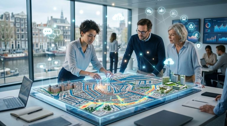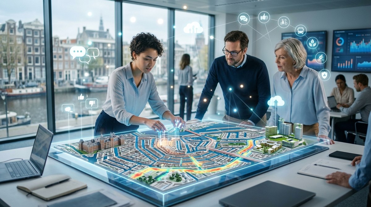
Amsterdam has always been a city of pragmatists. From its 17th-century canal rings to its modern cycling infrastructure, the Dutch capital builds with purpose. Today, that same pragmatic spirit is driving one of the most ambitious urban experiments in Europe: a living digital twin of the entire city.
This is not a static 3D model for architects to admire. It is a dynamic, data-rich mirror of Amsterdam that updates in near real time. For urban planners, smart city technologists, and municipal officials, it offers a way to test changes before breaking ground. It helps manage traffic, reduce flooding, and even predict where the next tree should be planted. And it is already changing how the city serves its citizens.
Amsterdam’s digital twin moves urban planning from reactive to predictive. By layering live sensor data, citizen feedback, and AI models onto a 3D map, the city can simulate noise pollution, test flood defences, and optimise public transport routes in minutes. For UK planners and officials, it offers a proven blueprint for smarter, more inclusive city management that saves time and public money.
What Makes Amsterdam’s Digital Twin Different
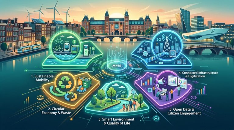
A digital twin is more than a map. It is a living dataset that mirrors physical assets, infrastructure, and even human behaviour. Amsterdam’s version, built in partnership with the city’s innovation lab and technology providers, combines several layers:
- Geospatial data: High-resolution 3D models of every building, bridge, and canal.
- IoT sensor feeds: Air quality monitors, traffic counters, water level gauges, and noise sensors.
- Citizen input: Feedback from apps like Amsterdam Smart City and local community boards.
- Predictive algorithms: Machine learning models that forecast congestion, energy use, and flood risks.
What sets Amsterdam apart is the openness of the system. The city publishes much of this data on its open data portal, allowing startups, universities, and residents to build their own tools. This transparency builds trust and accelerates innovation.
How Planners Use the Twin in Practice
The digital twin is not a theoretical project. It is used daily by Amsterdam’s urban development department. Here is a numbered list of the most common practical applications:
- Flood risk simulation: The twin models how water moves through the city during heavy rain. Planners test where to place green roofs, permeable pavements, or extra drainage. This is vital for a city built on reclaimed land.
- Noise mapping for new developments: Before approving a new housing block, officials run simulations of traffic noise at different times of day. They adjust building orientation or add sound barriers before a single brick is laid.
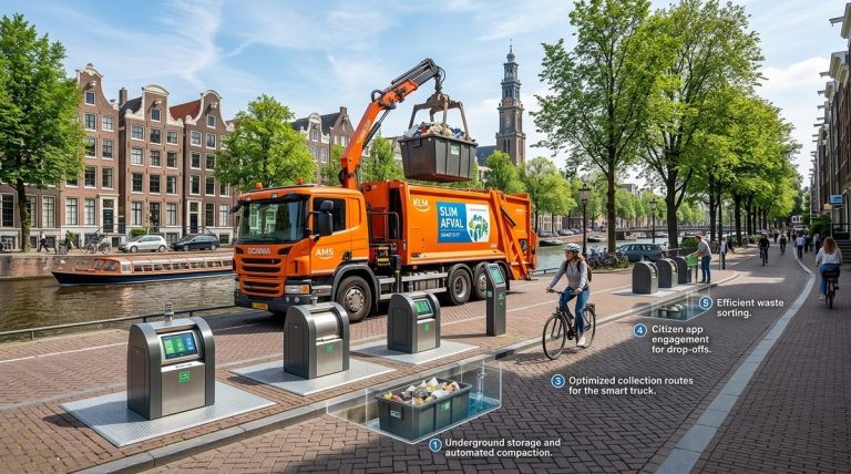
- Optimising waste collection: Sensors on public bins feed data into the twin. Collection routes are adjusted in real time based on fill levels, saving fuel and reducing lorry traffic in narrow streets.
- Solar potential analysis: The twin calculates which rooftops receive the most sunlight. The city uses this to prioritise subsidies for solar panel installation, targeting buildings with the highest return on investment.
These applications save money and reduce disruption. As one Amsterdam planner put it:
“We used to spend months on feasibility studies. Now we run a simulation over lunch. The twin does not replace human judgement, but it gives us better evidence to make decisions faster.”
A Table of Techniques and Common Pitfalls
For officials considering a similar approach, it helps to see what works and what does not. The table below outlines key techniques used in Amsterdam and the mistakes they avoided.
| Technique | How It Works | Common Mistake to Avoid |
|---|---|---|
| Real time sensor integration | Pulls live data from 2,000+ IoT devices across the city. | Assuming more data is always better. Amsterdam filters for actionable signals only. |
| Citizen co-creation workshops | Residents test planning scenarios in VR using the twin. | Treating citizen input as a tick box. The city actually adjusts plans based on feedback. |
| Open data APIs | Any developer can access the twin’s data layers. | Hoarding data for internal use. Amsterdam found that external apps often solve problems they had not considered. |
| Predictive maintenance | AI flags infrastructure (bridges, roads) that need repair before they fail. | Ignoring the human side. The twin alerts teams, but maintenance crews still need clear workflows to act. |
Building Citizen Services on Top of the Twin
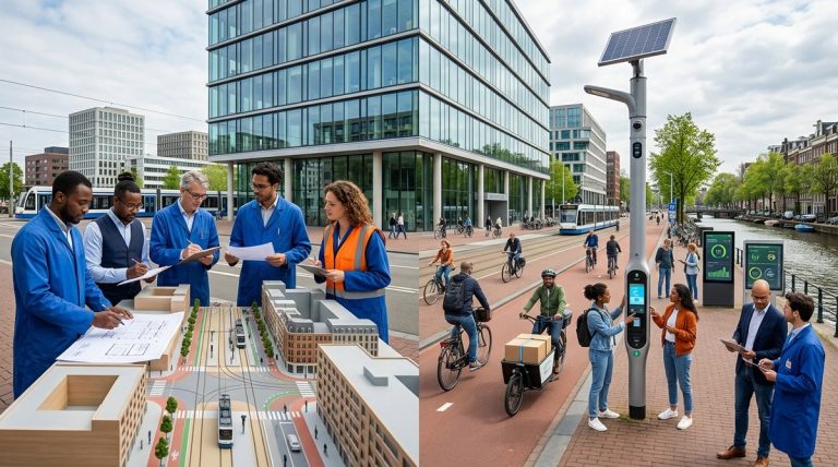
The digital twin is not just a planning tool. It directly improves how citizens experience the city. For example, the Amsterdam Air app uses the twin’s air quality sensors to give residents personalised pollution alerts. A parent can check the best route for a school run on a high pollution day.
Another service helps residents visualise planned changes near their home. If the council wants to build a new cycle lane, locals can see a 3D simulation of the finished street on their phone. They can leave comments on specific design elements, like the position of a crossing or the width of the pavement. This level of engagement reduces objections later in the planning process.
For more on how Amsterdam uses technology to improve daily life, read about how Amsterdam uses smart technologies to create a more sustainable city.
What UK Cities Can Learn from Amsterdam
British urban planners face similar challenges: aging infrastructure, housing shortages, and pressure to reach net zero. Amsterdam’s approach offers several lessons that translate directly to UK contexts.
Start small. Amsterdam did not build its twin overnight. It began with a single district and a single problem (flooding). Once the team proved the concept, they expanded to other use cases. A city like Manchester or Bristol could follow the same path.
Share data openly. Amsterdam’s open data policy created a community of developers who built free tools for the city. UK councils often pay for proprietary software when their own residents could build better solutions for free.
Prioritise citizen engagement. The twin is most powerful when it helps people understand and shape their environment. UK planners should invest in simple visualisation tools that let residents see proposed changes, not just read about them in council documents.
If you are interested in the broader strategy, see what can UK cities learn from Amsterdam’s smart city success.
The Role of Data and AI in Urban Policy
The digital twin generates enormous amounts of data. But data without a framework is just noise. Amsterdam uses the twin to inform its Doughnut Economy model, a framework that balances social needs with planetary boundaries.
For example, the twin tracks material flows through the city. It shows how much concrete, steel, and timber enters new construction sites. Planners use this data to set targets for circular materials, pushing developers to reuse rather than demolish. The twin also models the carbon footprint of new buildings over their entire lifecycle, helping the city meet its 2030 climate goals.
To learn more about this data driven approach, check out the role of data and AI in transforming urban policy in Amsterdam.
Three Steps to Start Your Own Digital Twin
For municipal officials who want to move from theory to action, here are three steps based on Amsterdam’s experience.
Step one: Identify a single high value problem. Do not try to model everything. Pick one issue that costs money or causes public frustration. For Amsterdam, it was flooding. For a UK city, it might be traffic congestion or poor air quality around schools.
Step two: Gather existing data first. Most cities already have useful data in spreadsheets, GIS maps, and council reports. The twin does not need new sensors immediately. Start by connecting what you already own.
Step three: Involve citizens from day one. Amsterdam learned that the twin gains legitimacy when people see their own feedback reflected in it. Run a small workshop where residents use a basic version of the twin to suggest improvements. Their ideas will surprise you.
For a deeper look at implementation challenges, see top strategies for implementing smart city technologies in Amsterdam.
Looking Ahead: Amsterdam’s Twin in 2026 and Beyond
The city is now adding a social layer to the twin. This includes anonymised mobility data from phone networks and public transport cards. The goal is to understand how different neighbourhoods access jobs, healthcare, and green space. If the twin shows that a low income area has poor access to parks, the city can prioritise new green infrastructure there.
Amsterdam is also experimenting with digital participation. Residents can soon use the twin to vote on small scale budget allocations, like where to place new benches or plant trees. This turns urban planning from a top down process into a continuous conversation.
For a full picture of upcoming projects, read about innovative urban solutions shaping Amsterdam’s future in 2026.
A Living Tool for a Living City
Amsterdam’s digital twin is not a futuristic gimmick. It is a practical tool that helps the city run better today. It reduces flooding, cuts traffic, improves air quality, and gives citizens a real say in how their streets look.
For urban planners and officials in the UK, the message is clear. You do not need a Silicon Valley budget to start. You need a clear problem, some existing data, and the willingness to share power with the people who live in your city. Amsterdam has shown the way. The rest is up to you.
About the Author